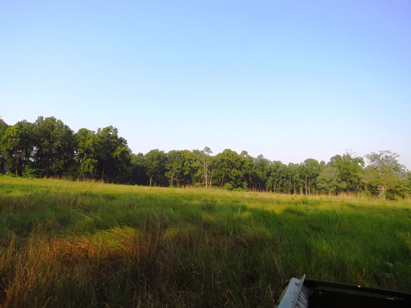
GEOGRAPHICAL IMPORTANCE
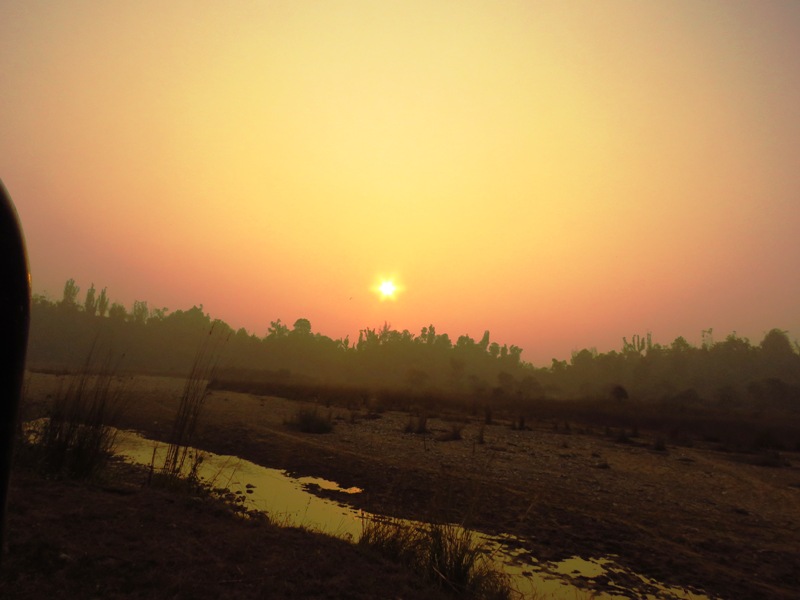
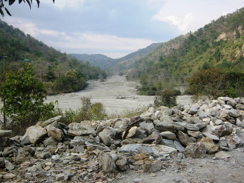
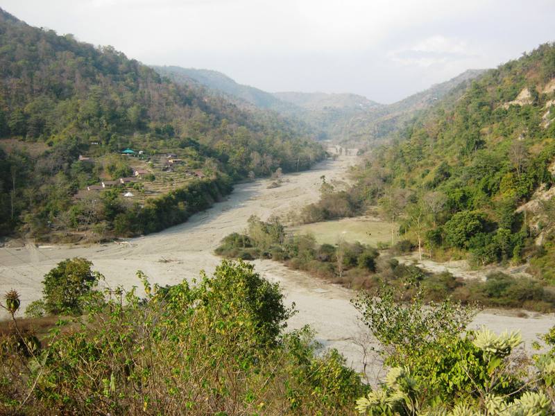
The Rajaji National Park is located in the foothills of the Shiwaliks ranges which extended over 1500 km in India and 600 km in Nepal. The Shiwaliks hills are one the most prominent and well vegetated area in Uttrakhand and Rajaji boasts of being the only rajaji national park in its lap. The 10-20 million years old Shiwaliks are composed of sedimentary rocks such as sandstone, clay and conglomerates and are very rich in fossils. The hill ranges vary from 200m at the terminal slope to 1,000m at the peaks. The alluvial nature of the soil makes the Shiwalik very fertile as they are the first formidable barriers to the monsoon clouds that sweep through the plains and bring good showers in the region. The foothills of the Shiwaliks and the continuing plains are called ‘bhabar’, characterized by very low water table and boulder strewn seasonal streams called ‘raus’ and ‘sots’ with comparatively less debris. The river Ganga along with the various seasonal rau’s and sot’s (perennial streams) quench the reserve forest, providing for a rich habitat to support the extensive biodiversity of the reserve. It decides the reserve into two halves as it flows for about 25km through the reserve.
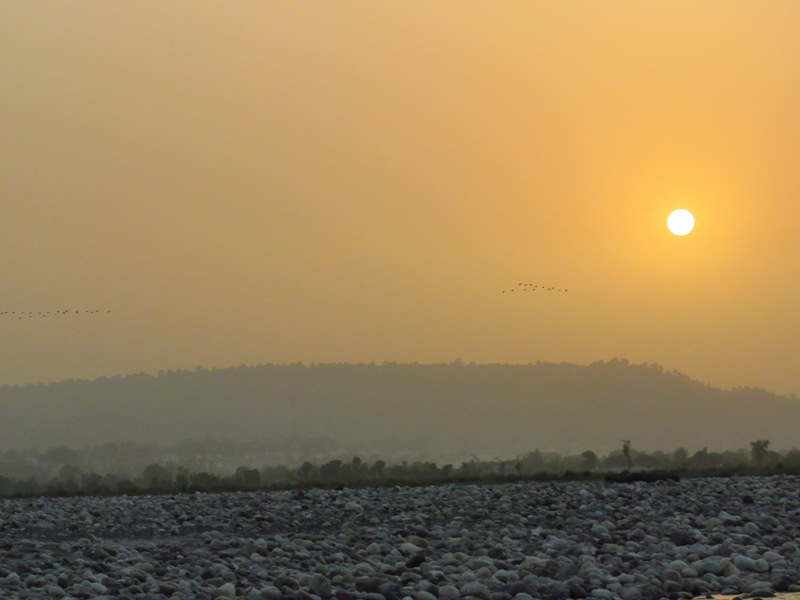
Roughly 570 sq km of forest is on the west bank while 250sq km is om the east bank. The stretch of the forest along the Ganga is one of the largest stretches through her course starting from Haridwar up to Ganga Sagar. There are small islands on the Ganga called the ‘Ganga Majhada’(islands). However after the cloud burst and the subsequent flooding of the Ganga in 2013 they have almost disappeared. The turbulent Ganga emerges from the Himalayas and begin her journey through the Indo-Gangetic plains through the reserves. The junction of the Gangetic plains and the outer Himalayas gives rise to the rich eco-tone that is unique in its diversity with a vegetation representative of several habitats, which further has an effect on the entire Gangetic plains. The reserve is characterized by the numerous sots’ or rau’s which are full of gushing water during the rainy seasons from June to September and run day in summers. Among them are the Jamun sot and Beri sot named after Jamun and Ber trees. There are more than 300 raus and sots, which make the topography of the reserve quite unique. This special geological feature makes conservation of the soil moisture and water obligatory.